


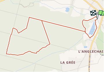

22 km | 25 km-effort

Tous les sentiers balisés d’Europe GUIDE+


Aplicación GPS de excursión GRATIS
 SityTrail
IGN / Institutos geográficos
SityTrail World
El mundo es suyo
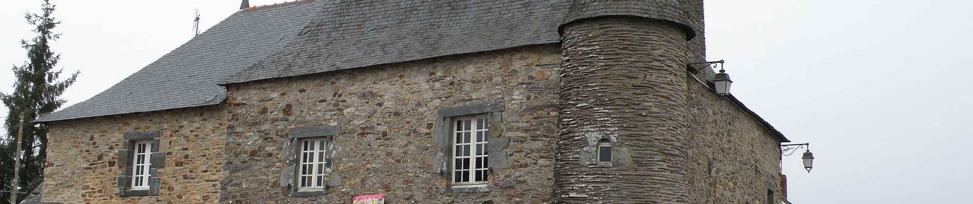
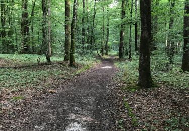
Ruta A pie de 6,6 km a descubrir en Países del Loira, Loira-Atlántico, Le Gâvre. Esta ruta ha sido propuesta por SityTrail - itinéraires balisés pédestres.
Trail created by Office de Tourisme d'Erdre & Gesvres.


Senderismo
Senderismo
Senderismo

Caballo

Caballo

Coche
Coche
Coche

Senderismo